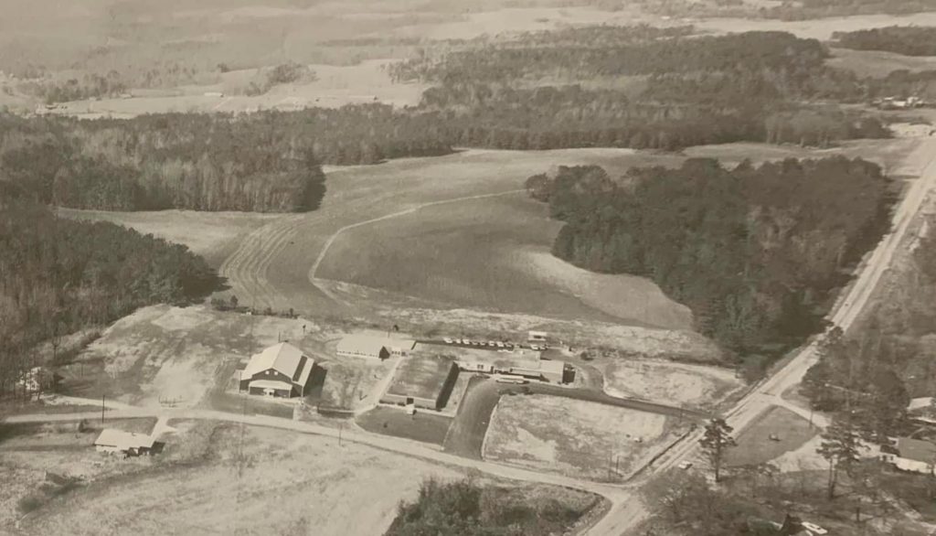
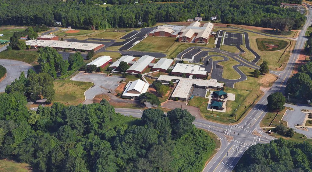
A few weeks ago I came across this aerial photo from 1966 that I thought was interesting. I’m very familiar with the area because all of my kids have gone to the middle and high schools that are around this in present day. This image shows the elementary school before anything else existing around it other than a few homes.
I haven’t researched the entire history of this school yet. I believe the school was originally built in 1903, but I’m not clear on if that building is present in this photo. It sounds like they made many additions/changes to the buildings over the years (including building the gymnasium building in 1950) which altered its structure and appearance.
This is a north-facing photo of Hickory Flat Elementary School in 1966. Major crossroads shown in the picture are East Cheroke Drive going North-South, and Hickory Road going East-West. I’ll include a Google Earth snapshot of approximately the same view in 2023.

