Old Mill Creek Bridge

If you have ever been traveling north on Hickory Flat Highway (GA-140) from Milton to Hickory Flat, you will have passed over Mill Creek near Buck Jones Nursery. Mill Creek is a tributary of the Little River and runs for approximately 10 miles.

Now, this is something that most people probably won’t notice, but since I’ve been stuck in traffic so many times on my way to pick kids up from school I’ve had plenty of time to look around as I’m driving up GA140. When passing through this area shown in the circle above you cross over a bridge which covers the creek. It’s a modern bridge like any other one.

When the seasons change and leaves fall off the trees I began noticing something odd in the creek to the right of the bridge. Can you see it? Let’s zoom in a little.

What is that? Some kind of post? Is it wood or concrete? Why is there so much water that looks like rapids in the surrounding area? This isn’t a huge creek and doesn’t flow all that fast, but something under the water is disrupting the smooth flow.

I pass by this enough that I began to wonder if this was a concrete footing for a bridge, and maybe the debris in the water was other fragments of the bridge or possibly another support that fell over. But… the odd thing is that all around this part of the river is absolutely nothing but wooded area. If there was a side-street that came off Hickory Flat Highway and crossed back over the creek, I don’t see it. No roads other than Bailey Road to the south of this, and it doesn’t go in the direction of the Creek.

So what is this thing?? Why would a bridge cross here? Maybe it was just a foot bridge. Again, there’s nothing here. It’s a wooded area. Putting a bridge here makes no sense for anything around it.

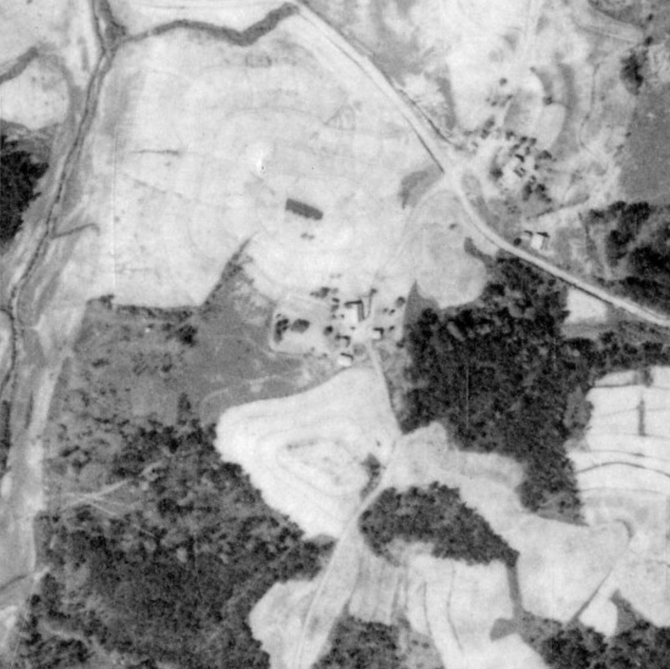
My next step is to go look at historic aerial photos of the area to see if some answers are in historical photography. I found an aerial photo from 1960 showing the area. Hickory Flat Highway looks normal, Bailey Road is there, and other than missing buildings like the plant nurseries, nothing odd in this image. I traced Hickory Flat Hwy, Bailey Road, and Mill Creek to show their positions.

Aerial photos older than the 1960’s are difficult to find for this area, but there is a nice set of images from 1938. These are very difficult to read because there’s not much in the area that is recognizable and most roads weren’t paved (or they just didn’t exist at all!). I did manage to find the area above in the images though, and it does reveal why there’s some concrete support structures in the middle of Mill Creek. I’ll post a closeup of the road side-by-side so you can compare the two.

The left side of the yellow divider line is 1960 and the right side is 1938. If you have a keen eye you can see that Hickory Flat Hwy is shaped differently north of the intersection of Bailey Rd. It goes straight north, and then cuts to the west…. across an older bridge over Mill Creek! Then, it meets back up with the normal NW direction of the road we know today. Mill Creek also follows a different route after the bridge too. It was straight and doesn’t do the hair-pin shapes.

Here’s a highlighted image showing the routes…

  • YELLOW – Hickory Flat Highway (GA140) going NW
  • PINK – Bailey Road
  • BLUE – Mill Creek

So you can easily see that in 1938 Hickory Flat Highway crosses over Mill Creek on a different bridge which we see today as debris in the creek when you look to the east. So there you have it! Hickory Flat Highway did in fact get re-routed to a newer bridge some time between 1938 and 1960, and they just never cleaned up the old bridge entirely.

BONUS: I’ll cover this on another post later, but you may have noticed south of Bailey Road that Hickory Flat Highway also followed a different path and is not in the configuration we know it as today. It used to come off Jep Wheeler Road and then go more NW to meet up with Grace Community Church. Once passing the church, it continued directly north until it reached the old Mill Creek Bridge. Interesting, huh? Here’s the 1960 image with the 1938 annotations, and a new RED line showing Hickory Flat Highway as we know it today.

Hickory Flat Elementary School

A few weeks ago I came across this aerial photo from 1966 that I thought was interesting. I’m very familiar with the area because all of my kids have gone to the middle and high schools that are around this in present day. This image shows the elementary school before anything else existing around it other than a few homes.

I haven’t researched the entire history of this school yet. I believe the school was originally built in 1903, but I’m not clear on if that building is present in this photo. It sounds like they made many additions/changes to the buildings over the years (including building the gymnasium building in 1950) which altered its structure and appearance.

This is a north-facing photo of Hickory Flat Elementary School in 1966. Major crossroads shown in the picture are East Cheroke Drive going North-South, and Hickory Road going East-West. I’ll include a Google Earth snapshot of approximately the same view in 2023.

Land Research

Geography is the history of the world; it’s the story of what we humans have done to the world.”

– Desmond Tutu

One night during the summer of 2020 I was sitting on my deck off the back of my house listening to the birds and having a drink. I was looking out at the 1/3 acre backyard which just had a few trees cut down. I had previously watched all the tree maintenance guys bring in equipment to cut the trees, grind up the stumps, and tear out all the old shrubs and other unwanted landscaping.

Before the new grass was laid down, the Earth was briefly exposed to the sky for a few weeks. As I sat there and looked at the dirt section of my back yard, I had this odd thought cross my mind. This is pretty typical for me, and probably why I have so many diverse hobbies and interests. I had wondered if somewhere in the dirt there was items from the previous owner of my house. Maybe toys from their kids, or lost tools or maybe even construction materials like nails or screws tthat had gotten burried.

I could probably have bought myself a metal detector and answered some of my own questions. But my thoughts quickly shifted to something far broader…

Kind of a strange thought because I already knew that my neighborhood was built on previously unused land, or at least that’s what I was told. So, what does that mean? It was wooded and not developed? Or was it just a large field that someone owned? Was it a farm that just went abandoned and not worked anymore?

My property, like most of the other lots in my neighborhood, is quite small. I started wondering about the entire neighborhood. What was here before we all were? What did it look like when it was being built? What did it look like in 1940? Did the topography of the land have to be altered to accomodate roads / sewers / water mains? What did the creek flowing through our neighborhood look like before all of this was built?

Lots of questions that are a combination of history and geography. Time and space questions. What did this space look like at a different time. Very appropriate considering I’m into SciFi stuff like time travel.

I already had a background in researching “Then & Now” material as it relates to abandoned buildings in downtown Detroit. I would research pre-Depression architecture that was still standing, find old photos, and then embark on “urbex” adventures into the buildings to photograph them in an attempt to get a matching photo from modern times.

All of this curiousity started me on a path of researching the history of the land around my neighborhood. Just using resources available on the Internet, I was able to find out quite a lot of information including historic aerial photos going back as far as 1938. I have absolutely no background in surveying land, topology, or how to read legal documents regarding land ownership, but all of this research gave me a basic understanding of those items, and quite a lot more.

I’ve disovered and used many online tools like GIS databases giving you access to deed / plat / lien information, historic photo collections, and mapping software for satellite / street view / fly-over photography. As I answered all the questions I had about my own neighborhood I began to branch out to areas around it. My collection of information was growing.

I started to realize that there might be benefit for other people in my neighborhood that had similiar curiosities. It didn’t seem to make sense to me to keep all this information locked up on my hard drive only visible to me.

So, I decided that I’ll publish some of the work I’ve been doing on a blog so it’s avaiablle to people that have an interest in this stuff. Enjoy!