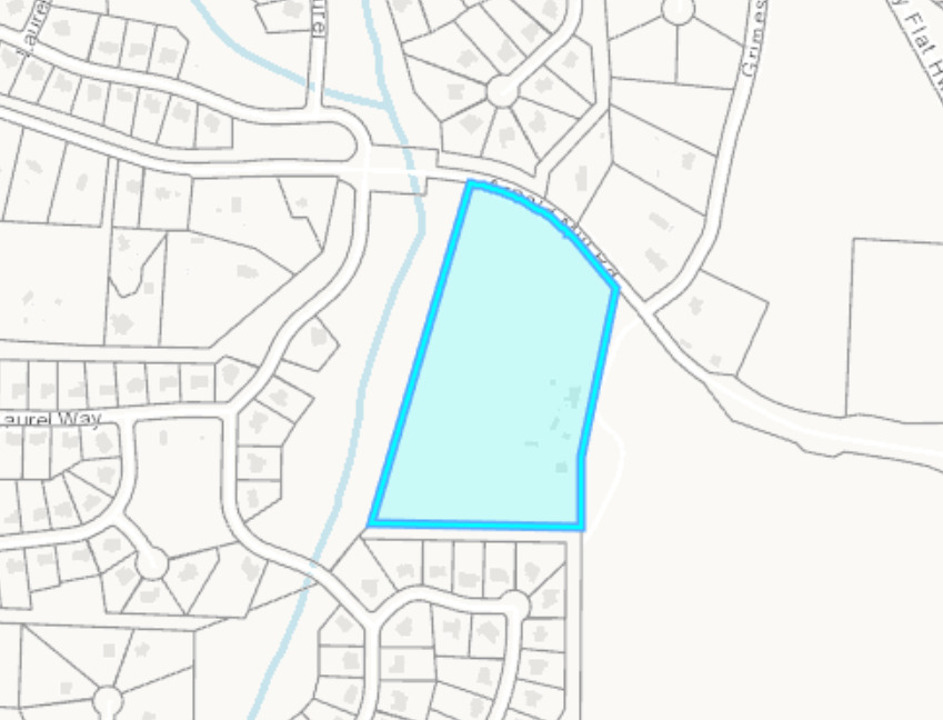
Let’s talk about that 15.6 acre piece of land that sits right next to Laural Brooke Neighborhood at the corner of Arnold Mill Road and Grimes Road. You know the one:
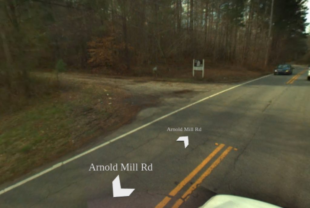
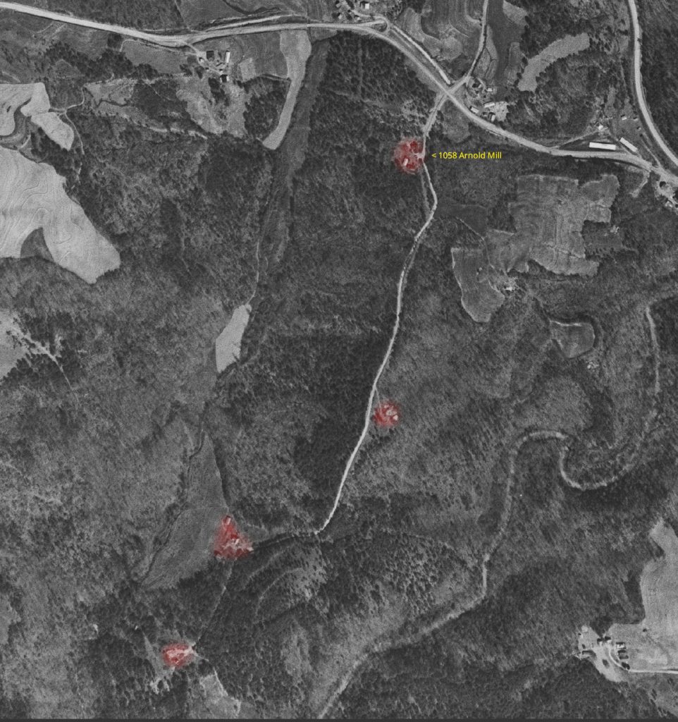
We all pass it whenever we need to head to Hickory Flat, or Roswell, or maybe to get some items up at the dollar store. It’s a peculiar road that looks like a private drive rather than a public road (although it doesn’t appear to be marked as a private road anywhere). Whatever it is considered now, it wasn’t a private road pre-2002. It was known as Rucker Lane, and it used to lead to no less than 4 homes along a path leading to the Little River.
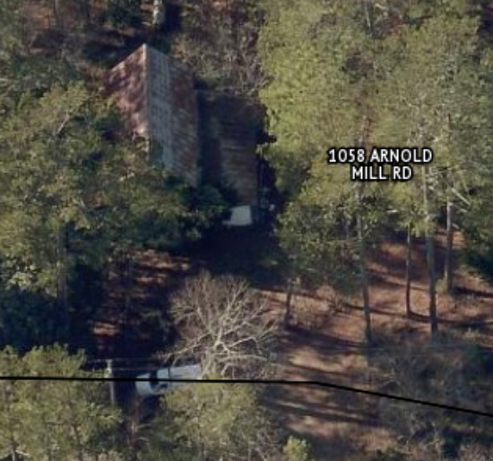
It’s an interesting property with what appears to be at least two houses and two barns/garages. The rest of the land is wooded and undeveloped. It backs up to the former reservoir in Laurel Brooke on the west, and homes to the south. On the east side of the property is a 50+ acre piece of property owned by what I believe is a Chinese holding company. That’s for another wall of shame post!
So why am I putting this one on the wall of shame? Well, it’s another property owner hoarding land in an effort to try to get a neighborhood development company to pay a premium price to buy it. The property is owned by a woman named Carol V. Clark, a real estate attorney. Imagine that. Appears that she bought the property from a woman named Ruth Marsh in October of 2004. Well, she didn’t buy it from Ruth directly. Ruth passed away in 2003, so Carol swooped in to pick up the property from her estate/executrix.
This happens all over our area. Old homes get bought out after an elderly person dies, and then the new owner just sits on it for years (sometimes decades) and lets the property deteriorate until its a pile of rubble (or it burns down like 13725 Arnold Mill Rd just did).
I can’t say that Carol has done this entirely, as I do see evidence of vehicles in the driveway over the years. But that all seemed to stop sometime after 2019. I don’t believe Carol was actually living there all this time (she doesn’t seem like the type to live in an old farm home), but it’s possible she was renting it out to make more money on the place.
So what happened after 2019. Well, COVID hit, lockdowns, and then suddenly the housing market started to skyrocket. Carol’s in real estate…perfect time to put it on the market and cash in!
So what does she do? Lists it at this insanely ridiculous price of $2.337 million. Way above the average price per acre for our area. She kept pulling the listing and relisting it multiple times over the years, switching agents and listing services. Then after it had already been on the market for over 2.5 years without a sale (maybe one pending that fell through), most people would lower the price to hopefully make it sell. But no, she RAISES the price! $2.375 million now.
“Perfect for a new home neighborhood! This development opportunity could be subdivision for approximately 25 new homes! A beautifully wooded tract of over 15 acres awaits your development desires.“
She keeps listing it as “land” because she only sees it as a neighborhood development opportunity, but there is very clearly a historic home (allegedly built in 1860) on this property. If that’s accurate, it was built only 28 years after the McConnell-Chadwick Homestead which has a historical marker plaque.
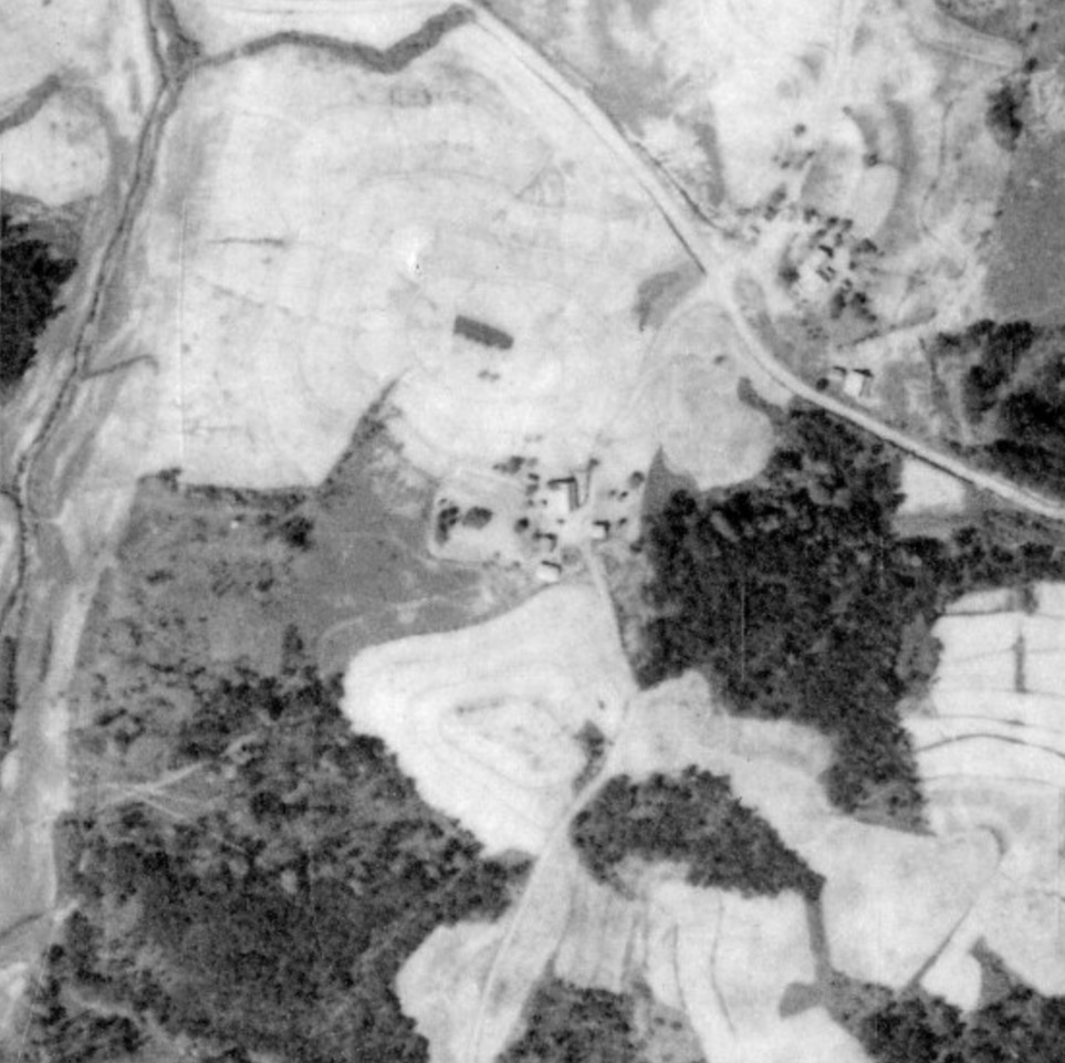
I’m only able to go back as far as 1938 with aerial imagery. You can clearly see in this photo that property was a huge farm with lots of cleared out land for livestock/farming.
But sure…go ahead and wipe out more Cherokee County history so you can make a buck and we can get another giant subdivision to flood our 2-lane roads with cars. Shame!
